Over the years traffic on the farm lane north of the Piper farm had worn through the soft soil to create a trench hidden from the view of anyone coming over the rise to its north. It was the perfect Confederate defensive location to hold back repeated attacks of the Union 2nd Corps – until it was outflanked and turned into a deathtrap for its defenders. It is now known to history as the Bloody Lane. The War Department built an observation tower at the east end of the Sunken Road in 1897 that gives a perspective over much of the battlefield.
Click on the map or select from the menu below to see the page for any monument, marker or place:

monuments
Brigadier General George B. Anderson
Major General Israel Richardson
2nd Delaware Volunteer Infantry Regiment
The Irish Brigade
Hexamer’s New Jersey Battery
markers
G. Anderson’s Brigade
R. Anderson’s Division
Army of Northern Virginia (3 markers)
Army of the Potomac (5 markers)
Brooke’s Brigade
Caldwell’s Brigade
D.H. Hill’s Division (1)
D.H. Hill’s Division (2)
Meagher’s Brigade
Richardson’s Division
places
Observation tower
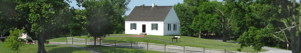
Piper Farm
View west along the Sunken Road