Marker 121 is one of a set of five markers on the north side of the Sunken Road at the Observation Tower (Sunken Road East tour map) which give an overview of the Army of the Potomac at the Battle of Antietam. The story continues on marker 122.
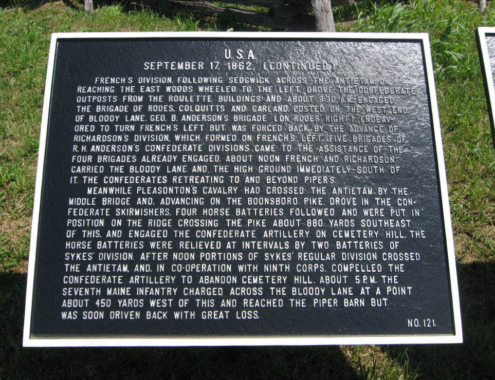
September 17, 1862 continued.
French’s Division, following Sedgwick across the Antietam, on reaching the East Woods wheeled to the left, drove the Confederate outposts from the Roulette buildings and, about 9:30 A.M., engaged the Brigades of Rodes, Colquitt and Garland, posted in the west end of Bloody Lane. Geo. B. Anderson’s Brigade (on Rodes’ right) endeavored to turn French’s left but was forced back by the advance of Richardson’s Division, which formed on French’s left. Five Brigades of R.H. Anderson’s Confederate Division came to the assistance of the four Brigades already engaged. About noon French and Richardson carried the Bloody Lane and the high ground immediately south of it, the Confederates retreating to and beyond Piper’s.
Meanwhile, Pleasonton’s Cavalry had crossed the Antietam by the Middle Bridge and, advancing on the Boonsboro Pike, drove in the Confederate skirmishers. Four Horse Batteries followed and were put in position on the ridge crossing the Pike about 880 yards southeast of this, and engaged the Confederate Artillery on Cemetery Hill. The Horse Batteries were relieved at intervals by two Batteries of Sykes’ Division. After noon portions of Sykes Regular Division crossed the Antietam, and, in co-operation with the Ninth Corps, compelled the Confederate Artillery to abandon Cemetery Hill. About 5 P.M., the Seventh Maine Infantry charged across the Bloody Lane at a point about 450 yards west of this and reached the Piper barn but was soon driven back with great loss.
No. 121.

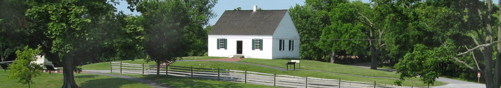
War Department markers at the Observation Tower at Antietam