These ten photos show the full 360 degree view from the top of the Observation Tower on the Antietam battlefield. They start with the view down the Sunken Road and continue counter-clockwise around the tower. It is obvious how little the battlefield has changed from its 1862 agricultural character, a testimony to the original plan for the park. (go to the Observation Tower)

View to the northwest, looking down the Sunken Road, or Bloody Lane. Richardson Avenue is on the left. The Visitor Center is on the high point of the distant hill, with the white spire of the State of New York monument and the smaller State of Maryland monument to its right.
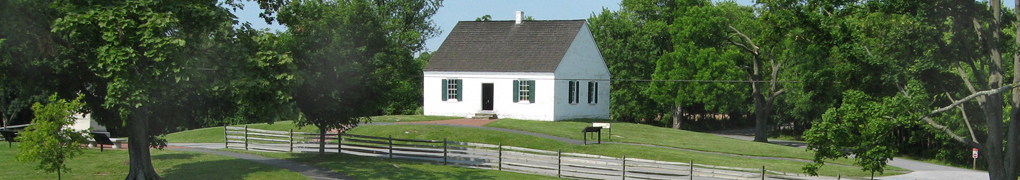
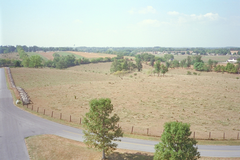
View to the north toward the Roulette farm
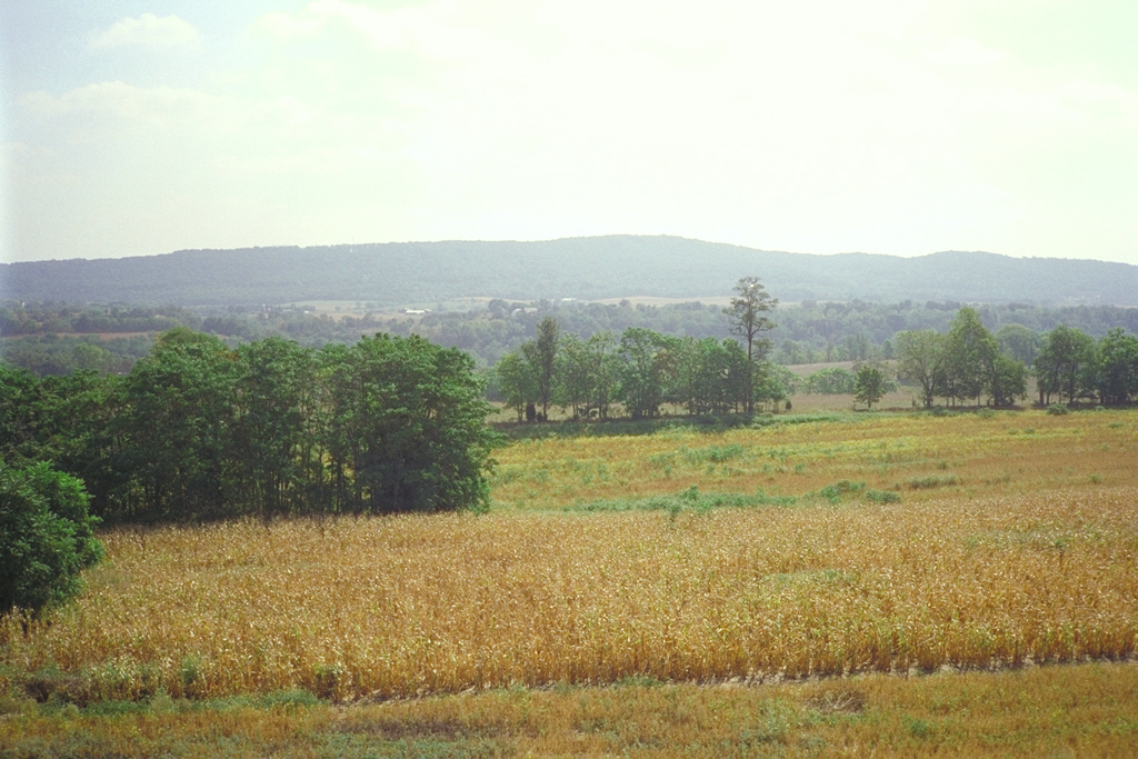
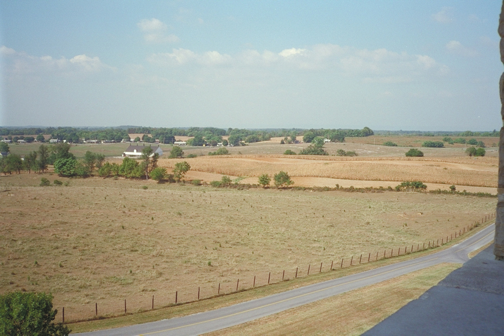
View to the northeast
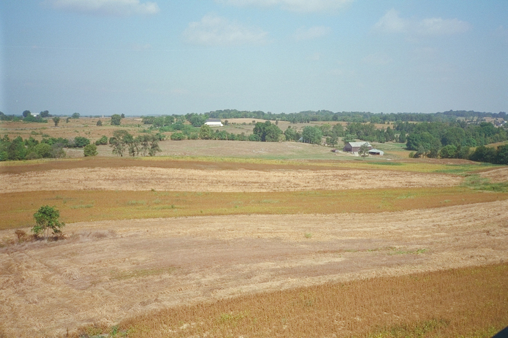
View to the northeast. The fields slope down to Antietam Creek in the middle distance. South Mountain is on the horizon.
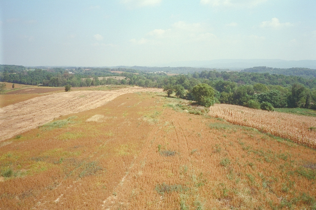
View to the east, with South Mountain in the distance.
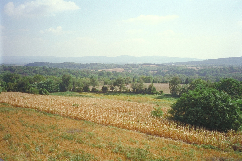
View to the east.
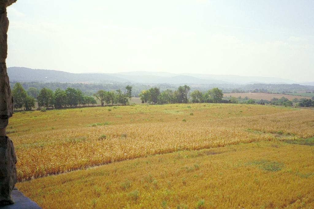
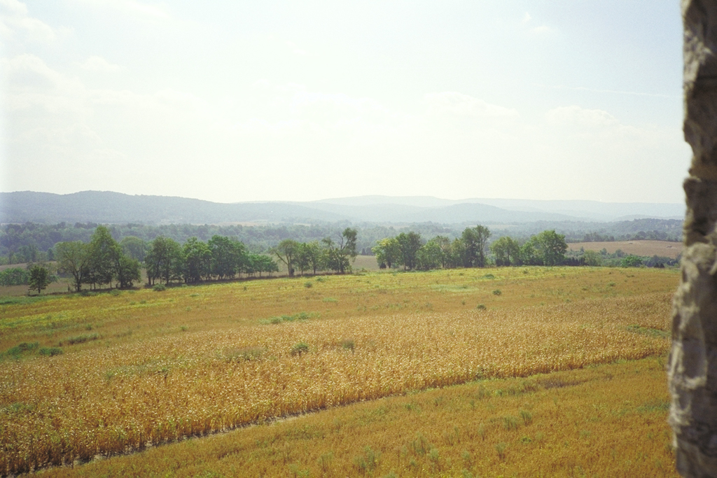
View to the southeast
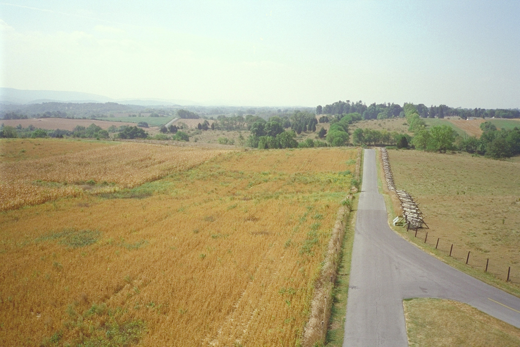
View to the southeast. Richardson Avenue heads south to the Boonsboro Pike, pointing directly toward the tall trees of Antietam National Cemetery on the east side of Sharpsburg.
View to the south. Richardson Avenue curves by the base of the tower, with the Piper farm on the other side. The village of Sharpsburg is in the distance on the right.
View to the southwest past Richardson Avenue toward the Piper farm and its large white barn.