Rodman Avenus begins at the Boonsboro Pike (Maryland Route 34) about 1/3 mile east of Sharpsburg. It runs one-way south, crossing over the modern Burnside Bridge Road on an overpass and intersecting with Old Burnside Bridge Road, which leads to the parking area for Burnside’s Bridge. Rodman Avenue then continues on as Branch Avenue, which leaves the park south of Sharpsburg on Harpers Ferry Road.
The terrain here is relativey flat ground that is higher than the ravines to the north and south but is overlooked by higher ground on the east and west. Both armies had artillery on the higher elevations that dominated this area, making it dangerous ground to occupy.
During the afternoon of the battle Wilcox’s Division of Burnside’s 9th Corps advanced here after crossing Antietam Creek. They drove the outnumbered Confederate defenders of Jenkins’ and Garnett’s Brigades back into Sharpsburg before A.P. Hill’s attack on the south end of the Union line forced them to withdraw to the bluffs west of the creek.
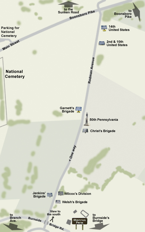
monument
50th Pennsylvania Volunteer Infantry Regiment
markers
2nd & 10th United States Infantry Regiments
14th United States Infantry Regiment
Christ’s Brigade
Garnett’s Brigade
Jenkins’ Brigade
Welsh’s Brigade
Wilcox’s Division
places
National Cemetery
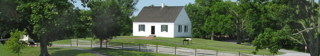
Sherrick Farm